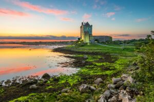
Surveyors who visited in September 1982 and again in March 1992 found the site under water on both occasions, the floodplain having swallowed whatever physical trace the well once left. Holy wells in Ireland are typically modest features, sometimes nothing more than a stone-lined depression or a small spring marked by a rag-covered bush, so even in dry conditions there would be little to see. Here, the water table appears to have rendered the question permanently open.
The 1838 edition of the Ordnance Survey six-inch map records it by name, written in Roman script as "Patricks Well", which was the cartographic convention used for sites of local or popular significance rather than those given full antiquarian status. By the time the 1922 edition was published, the name had been dropped, though the location was still marked. What that shift in notation means in practice is unclear, but it suggests the well's local identity was fading even before the twentieth century was properly underway. To add a further layer of confusion, a second well carrying exactly the same dedication lies roughly eighty metres to the east, raising the possibility that the two were always distinct features of the same sacred landscape, or that one is a misremembering or displacement of the other in local memory and cartographic record alike.