The route, roughly seven metres wide and traceable for at least a hundred metres, is defined by two parallel ditches and follows a north-west to south-east line just outside the north-eastern edge of the graveyard surrounding Ferns Cathedral. It was not found by excavation but by magnetic gradiometry, a non-invasive survey technique that detects subtle variations in the soil's magnetic properties, allowing archaeologists to map buried features without lifting a sod.
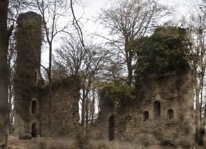
The survey, covering approximately four hectares around St Mary's Augustinian abbey, was carried out in 2015 and recorded not only this roadway but also traces of a post-medieval field system in the same area. The road may have been associated with that field system, suggesting it served some practical, workaday function in the organisation of land around the abbey and cathedral complex during the post-medieval period, broadly the centuries following the dissolution of the monasteries. Ferns itself had been a place of considerable ecclesiastical and political importance long before that, serving as the seat of the Kings of Leinster and hosting a cathedral and several monastic foundations, so the landscape around it accumulated layers of use across many centuries. This particular road belongs to one of the quieter, less celebrated of those layers.
The roadway sits on a gently sloping ground on the south-western side of a small stream and its valley, a modest topographical setting that gives little outward hint of what lies beneath the surface.