Promontory fort - coastal, Málainn Bhig, Co. Donegal
Co. Donegal |
Forts
On the rugged coastline of County Donegal, a small promontory known locally as Doon Point juts southward into the Atlantic, carrying with it centuries of defensive history.
This natural fortress, simply called 'the fort' by locals, was once a bustling settlement complete with numerous huts that dotted the grassy headland. Though these dwellings were cleared away at the turn of the 20th century, leaving only flat grassland that slopes gently eastward, the site's archaeological significance remains etched into the landscape itself.
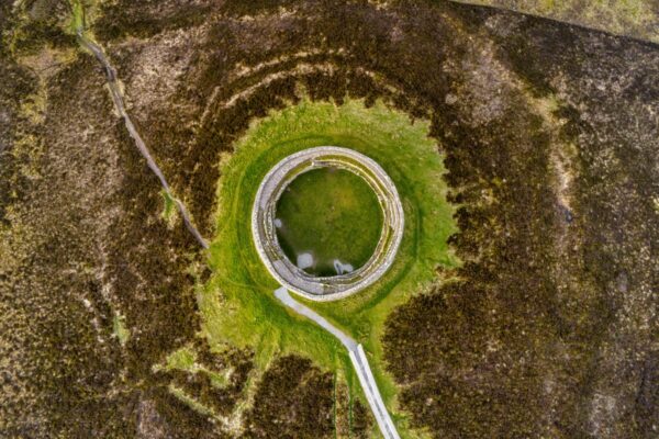
The promontory's defensive nature becomes clear when examining its narrow land approach, which is cut across by a distinctive valley or fosse that would have served as a natural barrier to unwanted visitors. Archaeological surveys reveal even more sophisticated fortifications; approximately 324 metres north of the headland's southern tip, remnants of an earthen bank and outer fosse stretch 50 metres from east to west. This low earthwork, measuring 1.5 metres wide at its base with an accompanying ditch, represents the original outer defensive line of what archaeologists classify as a promontory fort, a type of coastal fortification particularly common along Ireland's western shores.
Adding to the site's intrigue is a small earthen mound near the northern edge of the fort, standing 0.4 metres high with a slightly concave summit. Local tradition holds that this modest feature marks an ancient grave or burial site, suggesting the promontory served not just defensive purposes but possibly ceremonial ones as well. While recent cultivation has altered parts of the interior landscape, Doon Point remains a compelling example of how Ireland's coastal communities once used natural geography to their advantage, transforming seaside promontories into fortified settlements that could withstand both the Atlantic storms and human threats alike.
Visitor Notes
Added by