Church, Illauntannig, Co. Kerry
Co. Kerry |
Churches & Chapels
One of the small oratories on Illauntannig sits not beside the enclosure wall but actually inside it, wedged into the thickness of the masonry itself.
The building is barely larger than a generous wardrobe, measuring roughly 2.2 by 2.35 metres internally, yet its drystone corbelled walls, built without mortar by stacking and angling stones until they lean inward to form a roof, survive to nearly two metres high. What has not survived is the eastern wall, claimed by the sea, leaving only a single large slab standing on edge in the ground. Quartz pebbles above the doorway were once said to form a cross, though that pattern is no longer legible.
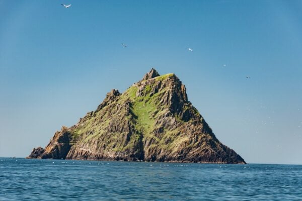
Illauntannig is the largest of the Magharee Islands, a small scatter of land at the northern tip of the peninsula dividing Brandon Bay and Tralee Bay in County Kerry. The Early Christian settlement it holds is enclosed by a cashel wall, a type of dry-built stone enclosure common to early Irish monastic and ecclesiastical sites, and within that boundary a remarkable concentration of features has been recorded: two oratories, three corbelled bee-hive huts, a souterrain (an underground stone-lined passage, typically used for storage or refuge), a burial ground, a stone cross, three cross-slabs, three leachts (low rectangular stone cairns associated with prayer or commemoration), a hand-bell, fragments of five quern-stones, and at least one bullaun stone, a boulder with a rounded hollow worn or carved into it, often linked to ritual use. A second bullaun lies roughly a hundred metres to the south, at the sea's edge. Across the water on Reennafardarrig, a hut-site, old field walls, and a boulder said to bear a cross inscription may represent a related outlier of the same community. J. Cuppage documented the complex in the 1986 Dingle Peninsula archaeological survey, though subsequent research has refined elements of that record.
The island is accessible by boat from the Maharees peninsula, and the crossing, short as it is, depends on sea conditions. The cashel enclosure is compact enough that a careful circuit on foot reveals the full range of structures, but the scale of what survives rewards slow attention rather than a quick pass. The eastern void where Oratory B's wall once stood is a reminder that the Atlantic continues to edit what early medieval builders left behind.
Visitor Notes
Added by